A Canadian Weekend Route Needs a Conditions Check, Not Just a Map
Canada Weekend Routes — Shoulder-season routes can change between a clear map view and a difficult drive. This issue pairs official road, incident, park, and smoke information with a practical plan you can revise before and during the weekend.

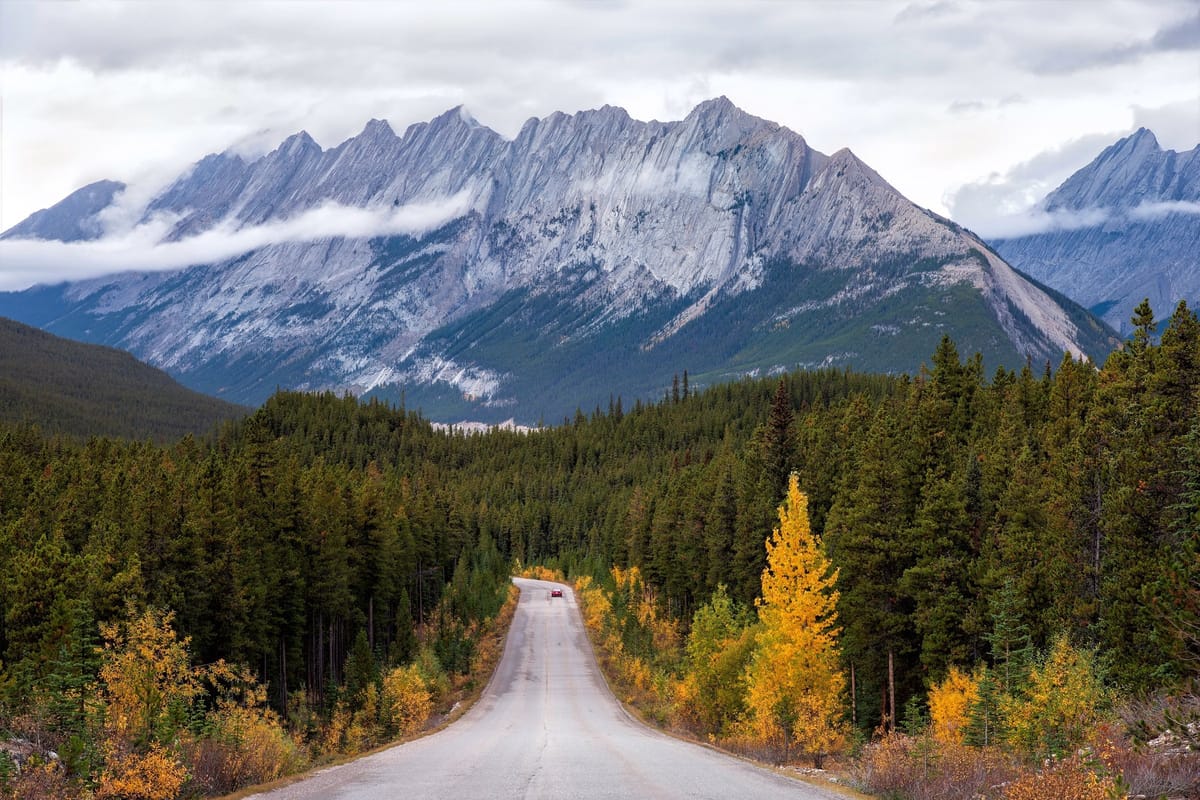
A route line can tell you distance and turns. In a Canadian shoulder season, it cannot tell you whether visibility has fallen, a highway event has closed a segment, smoke has moved across a region, or a stop is realistic for the people travelling with you.
The map is the outline, not the decision
Region: Ontario. Season: late September shoulder season. Date checked: September 28, 2026. Source types: official Ontario road and incident reports, a Parks Canada operational update, and an experimental smoke forecast. Elsewhere, substitute the relevant provincial, territorial, park, and road-operator sources.
A weekend route needs two plans. The first is the pleasant version: start point, stops, overnight, and return. The second is the conditions version: what you will check, which segment is most exposed to change, where you can turn around, and what would make you delay. That is not pessimism; it is refusing to ask a map a question it was not built to answer.
Shoulder season can create false confidence. A bright afternoon may sit beside a colder morning, heavy rain, early snow, fog, or wildfire smoke. I am not assigning a universal threshold to any of those. Check conditions at the route-segment level and record when you checked them.
What official road reporting confirms
Ontario's official open-data description says its road-conditions dataset covers current conditions on provincially owned and maintained highways and can be viewed in Ontario 511's winter-driving layer. That scope does not cover every road, driveway, trail, or attraction on a proposed loop. Read the Government of Ontario road-conditions description.
The Ontario 511 road-condition report says Ministry of Transportation maintenance contractors report conditions at least five times a day during the winter season. It lists primary and secondary conditions, visibility, drifting, and a last-updated time. Those fields help you ask whether the difficult segment has a surface, sight-distance, wind-blown-snow, or stale-report problem.
Disruptions need a separate check. Ontario's traveller-information report covers active events, including incidents and closures, on provincially owned and maintained highways. Check the Ontario 511 incidents and closures report. An incident is a reason to revisit the route, not a prediction of delay length. A closure is a route constraint, not an invitation to improvise on an unverified back road.
Smoke and park conditions need their own check
Road status and air conditions are different questions. A road can be open while smoke changes visibility or makes an outdoor stop unpleasant. A park page may describe a fire inside the park, smoke from elsewhere, or an update that has been superseded. Read the update date and geography before treating it as relevant.
For a concrete western example, the Parks Canada Kootenay wildfire-status page separates park-fire information from smoke that may come from elsewhere and gives update-specific context. It does not clear a general Rockies itinerary. Match the exact park, road, viewpoint, and date to your own plan.
A smoke model is supporting context, not an authority that settles the trip. The FireSmoke.ca current forecast identifies its BlueSky Canada forecast as experimental, warns that timing and concentration can differ from local conditions, and notes that smoke from outside its forecast domain is not included. Use it to notice a possibility, then check relevant official local alerts or air-quality information. That is a planning proposal, not a guarantee.
A better way to read the route
Write the route as a chain of decisions rather than one destination pin. Identify the longest exposed drive, least flexible segment, outdoor-dependent stop, and last easy point to turn back. Then ask:
- Is the road open and reported recently enough for this trip?
- Does the official report change the hardest segment?
- Are incidents, closures, smoke, or park updates affecting the actual places planned?
- If conditions change, can you shorten, pause, reroute through verified roads, or return?
This is not a scoring system. It prevents a favourable forecast at the starting point from standing in for the whole route. A map remains useful for distances and options; it belongs beside current operational information, not above it.
Limits and a small vehicle check
Vehicle preparation is another layer, but it should stay modest and general. Independent fall checklists commonly suggest looking at tires, wipers, lights, battery, fluids, and brakes before colder or wetter driving. One Canadian automotive fall-maintenance checklist is a reminder of categories, not a substitute for the vehicle maker's guidance or a qualified inspection. Do not turn a generic checklist into a diagnosis.
This is general educational travel information, not individualized legal, medical, insurance, accessibility, financial, or safety advice.
The limits are deliberate. Official road feeds cover a stated network and method; a park update applies to its named geography and update; an experimental forecast carries model uncertainty; an independent checklist is context, not authority. None guarantees safe travel, open facilities, acceptable air quality, accessible conditions, or a particular arrival time. Check exact official sources close to departure and keep the decision revisable.